Lake Aerial Photos and Data
Our Lakes – The Huron River Chain of Lakes are an irreplaceable natural resource. They are ours to enjoy and protect.
Huron River Chain of Lakes
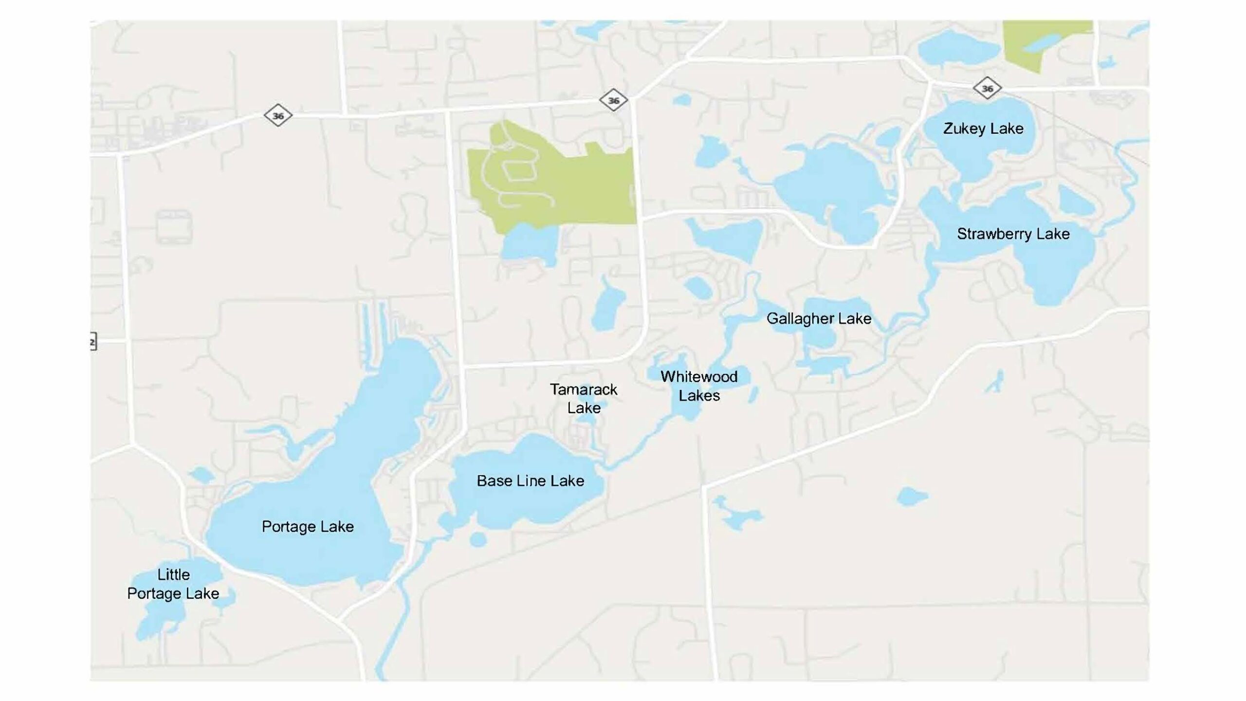
The Huron River Chain of Lakes includes Portage, Little Portage, Base Line, Tamarack, Whitewood, Gallagher, Strawberry and Zukey Lakes connected by the Huron River. These lakes evolved as the Huron River carved its way through glacial debris when the ice sheets retreated around 12,000 years ago. The receding glaciers left behind the lake basins surrounded by moraines – hills formed by the debris that had been gathered in the glaciers.
The Chain of Lakes provides important habitat for birds, fish, and wildlife. It offers outstanding recreational opportunities including boating, fishing, and swimming. Development pressure and intense use threaten the water quality of our lakes. Excess nutrients have led to problems like algal blooms and oxygen depletion. Invasive plants interfere with boating and upset natures balance in the water. Conservation efforts are underway to protect these unique inland lakes for generations to come. Visit Make a Difference to learn more.
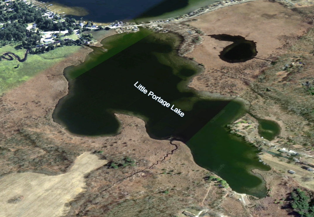
Little Portage Lake
- 93 Acres
- 42’ Maximum Depth
- Water Replaced every 4 ½ months
- *Watershed Disturbance: 43%
- *Shoreland Disturbance: 9%
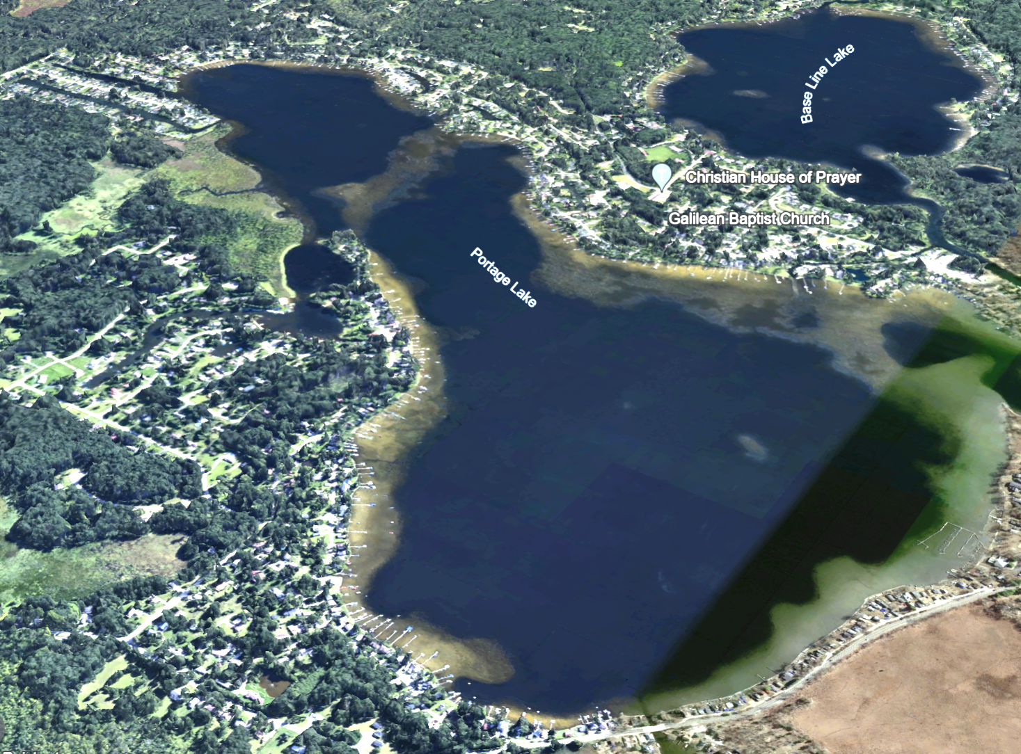
Portage Lake
- 644 Acres
- 84’ Maximum Depth
- Water Replaced every 4 ½ months
- *Watershed Disturbance: 42%
- *Shoreland Disturbance: 63%
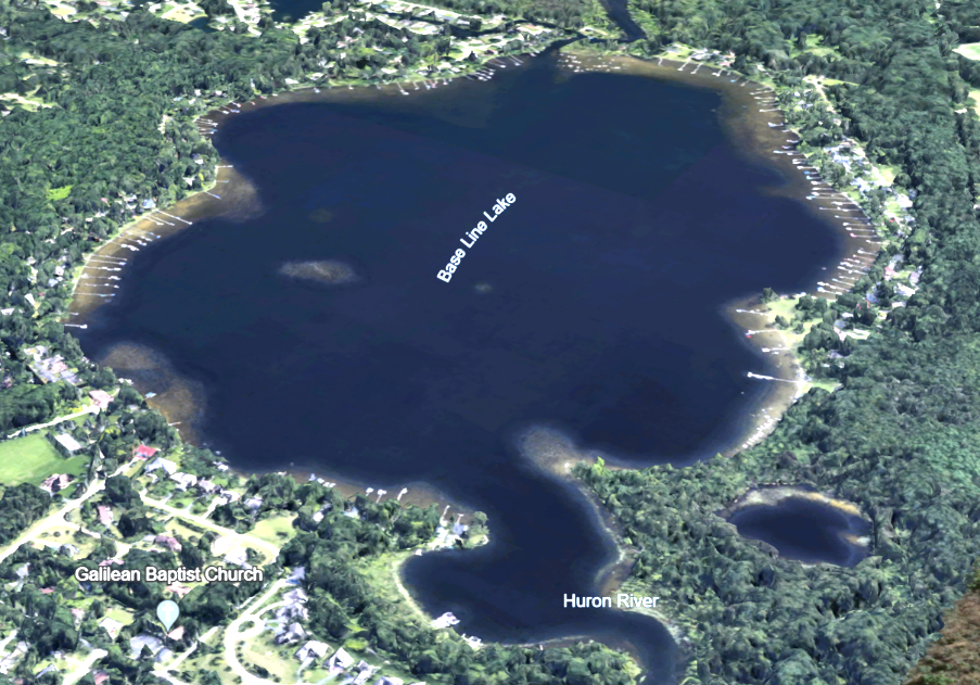
Base Line Lake
- 254 Acres
- 64’ Maximum Depth
- Water replaced every 14 days
- *Watershed Disturbance: 51%
- *Shoreland Disturbance: 33%
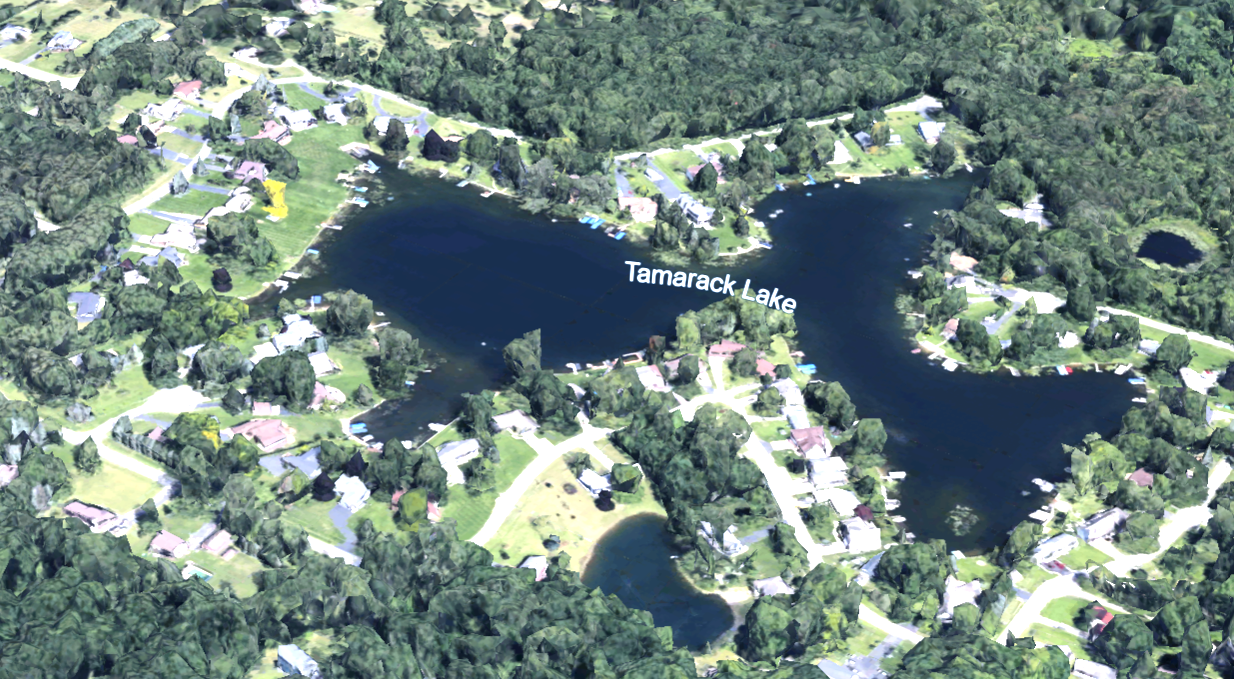
Tamarack Lake
- 16 Acres
- 34’ Maximum Depth
- Water replaced every 2.6 years
- *Watershed Disturbance: 23%
- *Shoreland Disturbance: 59%
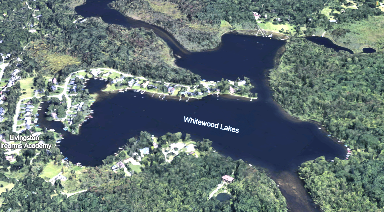
Whitewood Lakes
- 65 Acres
- 50’ Maximum Depth
- Water replaced every 2 ½ days
- *Watershed Disturbance: 51%
- *Shoreland Disturbance: 21%
Photo Credit: Google Earth
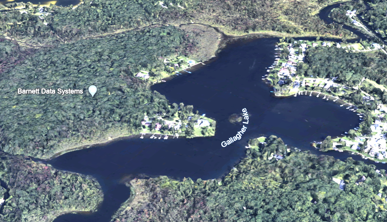
Gallagher Lake
- 76 Acres
- 30’ Maximum Depth
- *Watershed Disturbance: no data
- *Shoreland Disturbance: no data
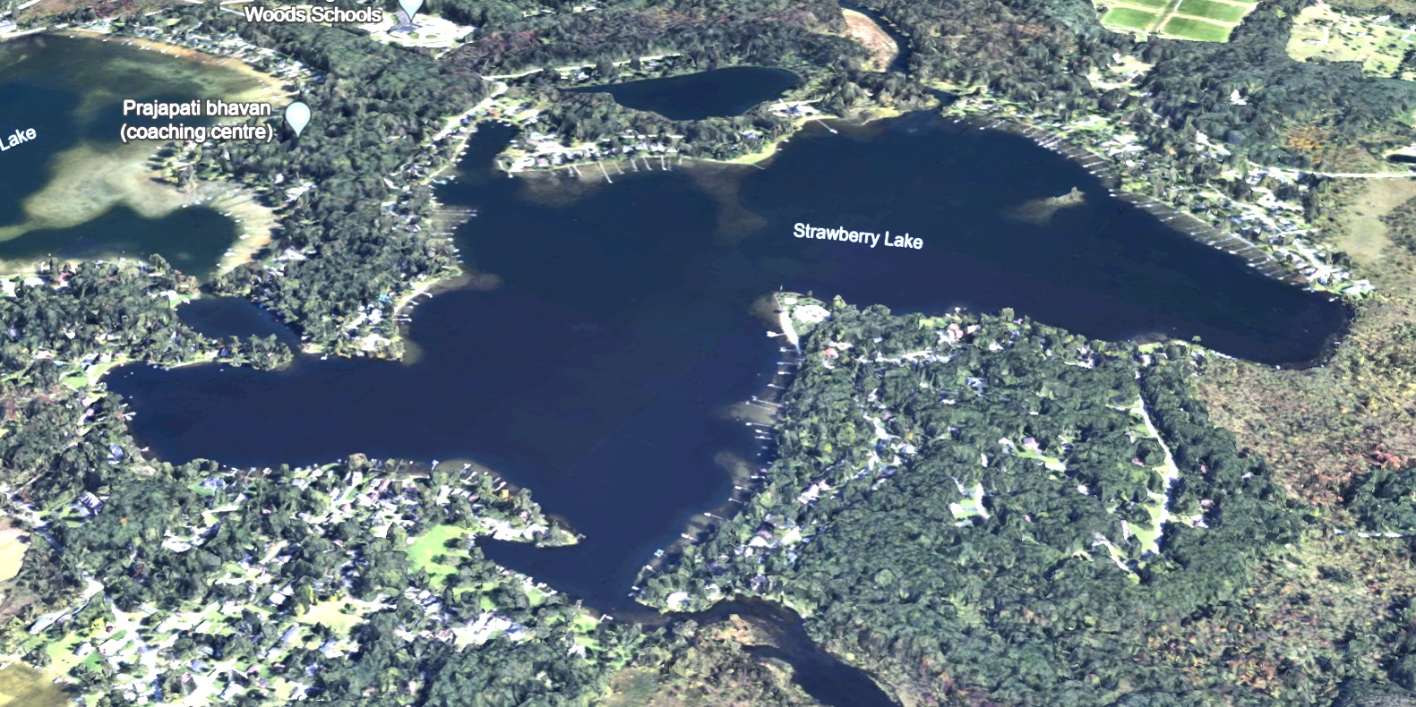
Strawberry Lake
- 257 Acres
- 50’ Maximum Depth
- Eutrophic (2004 Assessment)
- *Watershed Disturbance: no data
- *Shoreland Disturbance: no data
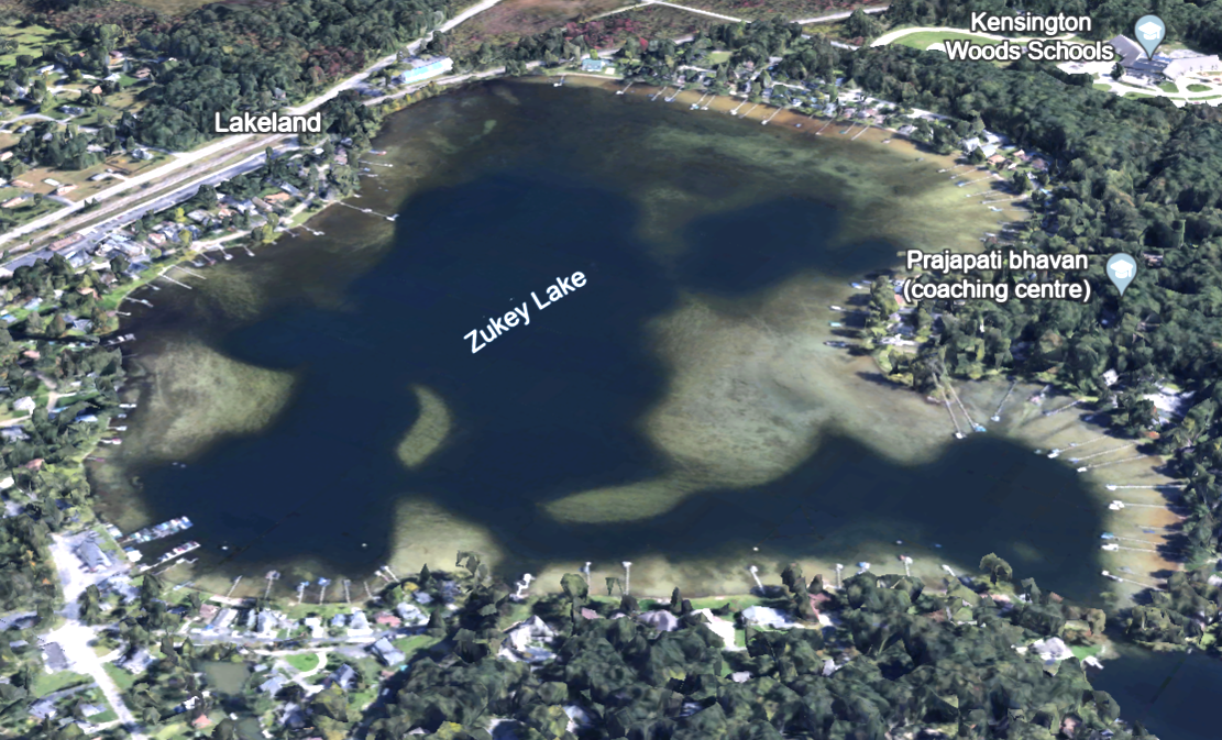
Zukey Lake
Photo Credit: Google Earth
*Assessments by the Midwest Glacial Lakes Partnership, an organization of environmental professionals and volunteers who work together to protect, rehabilitate, and enhance sustainable fish habitats in glacial lakes of the Midwest for the use and enjoyment of current and future generations.
Watershed disturbance is the proportion of the lake’s watershed with disturbed (urban and agricultural) land cover as of 2006. A lakes watershed is the land area that channels rainfall and snowmelt into the lake.
Shoreline disturbance figure shows the proportion of a lake’s shoreland with disturbed (urban and agricultural) land cover as of 2006.
